Special maps of the Danube region from the 16th and 17th century
DOI:
https://doi.org/10.30921/GK.76.2024.5-6.4Keywords:
Tabula Peutingeriana, Tabula Hungarie, Giacomo Gastaldi, Paolo Forlani, Sigismund von Birken, Jacob von Sandrart, Joachim von SandrartAbstract
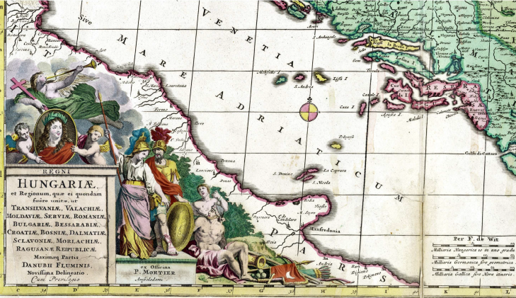
Giacomo Gastaldi’s map of the wider Danube region was published in Venice in 1547, and later appeared in several editions and versions. According to researchers who have also studied this map, the drawing in the atlas of Geography completed by Claudius Ptolemy in 150 AD may have been a predecessor of the Gastaldi map under study here. While others have identified the background of Cusanus’ map of Germania (= Central Europe), published in 1491, as its forerunner. Present research suggests that the predecessor of the type of map examined here may have been the Tabula Peutingeriana. The Tabula Peutingeriana map was a seven metres long but only 30 cm wide ribbon-shaped road map depicting the road network of the Roman Empire in the 5th century AD. By the first half of the 16th century, the ‘new map’, the Tabula Peutingeriana map, which had already become known, must have been a novelty to editors, who tried to incorporate what they saw on it into their own work.

