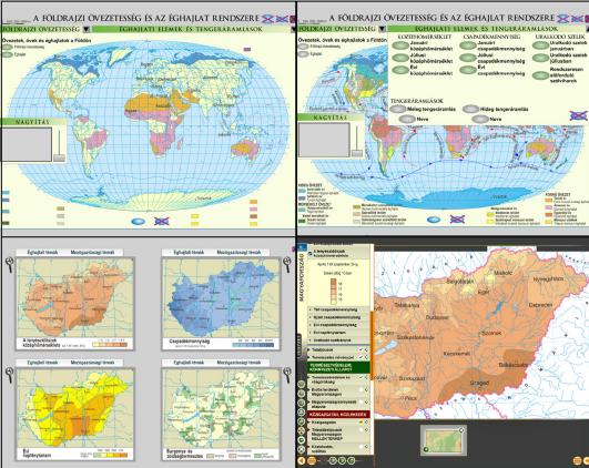
Interactive digital maps of Cartographia in the education
DOI:
https://doi.org/10.30921/GK.76.2024.2.2Abstract
Hungarian schools started using interactive maps in the late 2000s. Cartographia Tankönyvkiadó Kft. was the first publisher to transform their print atlases into interactive ones, and over the years, these interactive atlases developed into map-based electronic teaching materials. This article will review the short history and structure of these interactive geographical, historical, and literary teaching materials, along with the role they play in teaching. It will also discuss the importance of and the possibilities created by interactivity in education, and it will briefly review the most important aspects of designing such materials.

Downloads
Published
2024-11-25
Issue
Section
Tanulmányok
