About the Journal
The Geodesy and Cartography is a scientific and popular journal published in Hungarian, which publishes scientific papers and other professional articles on professional topics from surveying, land registration, remote sensing, photogrammetry, geoinformatics and cartography, as well as articles from related disciplines, provided that their subject Is related to the main fields of the journal. The purpose of the journal is to present the scientific results of Hungarian professional workshops in the mother-country and abroad as well as in foreign countries, to present professional results, new procedures and tools, to publish reports on professional and social events, articles, news, commemorations, and to publicise and promote the activities of professional workshops, institutions, civil and state organisations in the main fields of the journal. The journal aims to help the Hungarian Society of Surveying, Mapping and Remote Sensing to achieve its objectives set in its statutes [II. 2. § (2)].
Current Issue
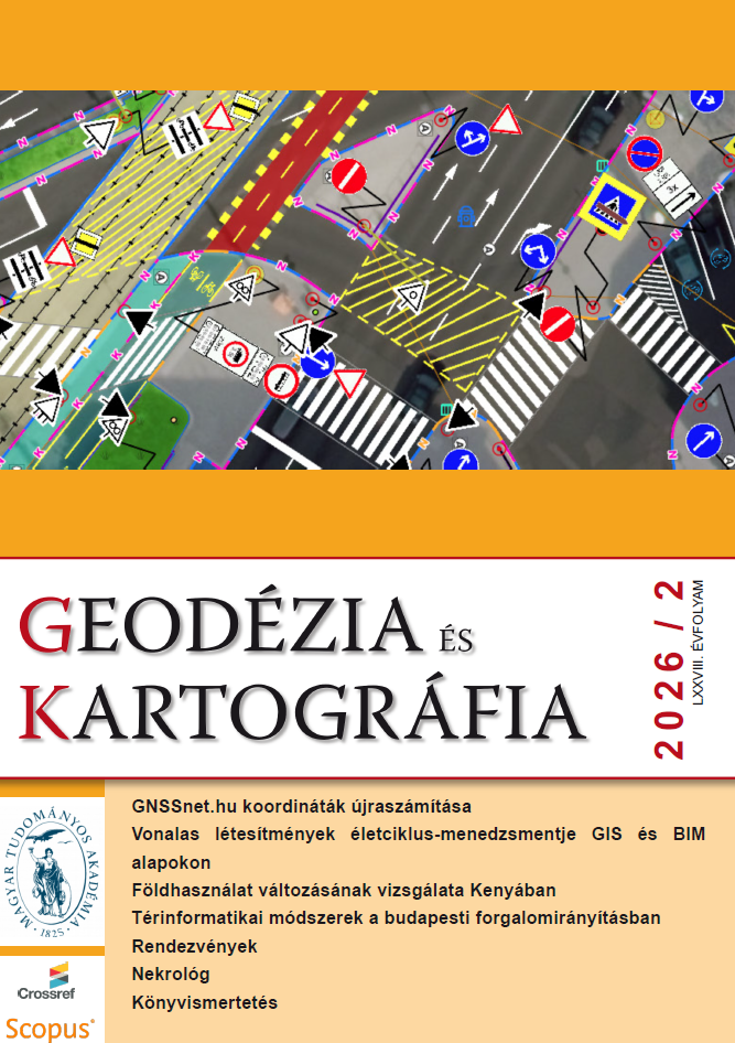
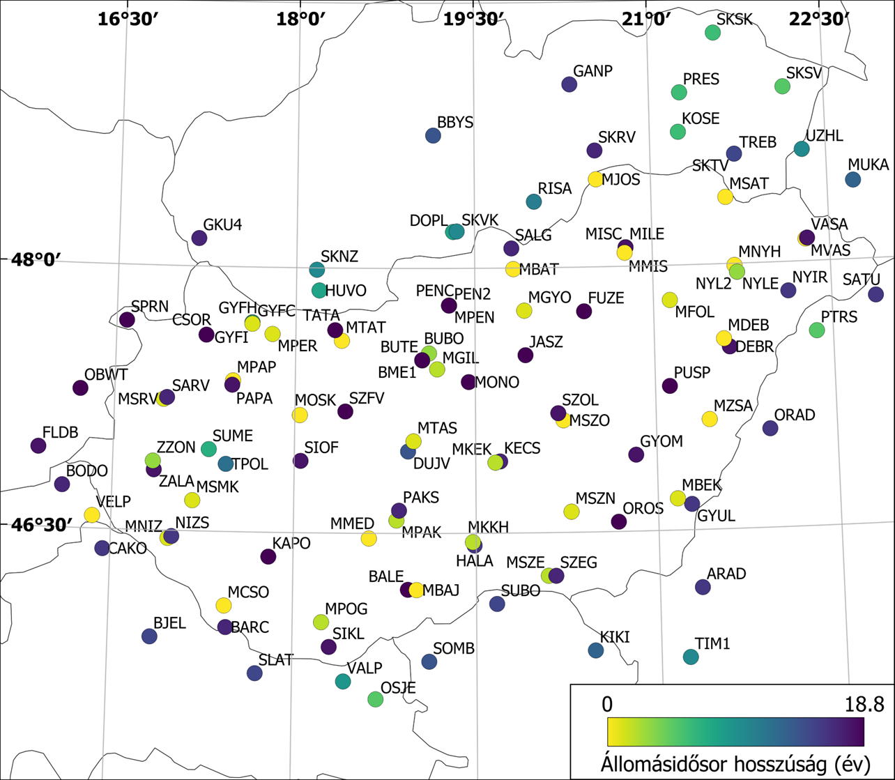
A GNSSnet.hu koordinátáinak újraszámítása ITRF2020 alapokon
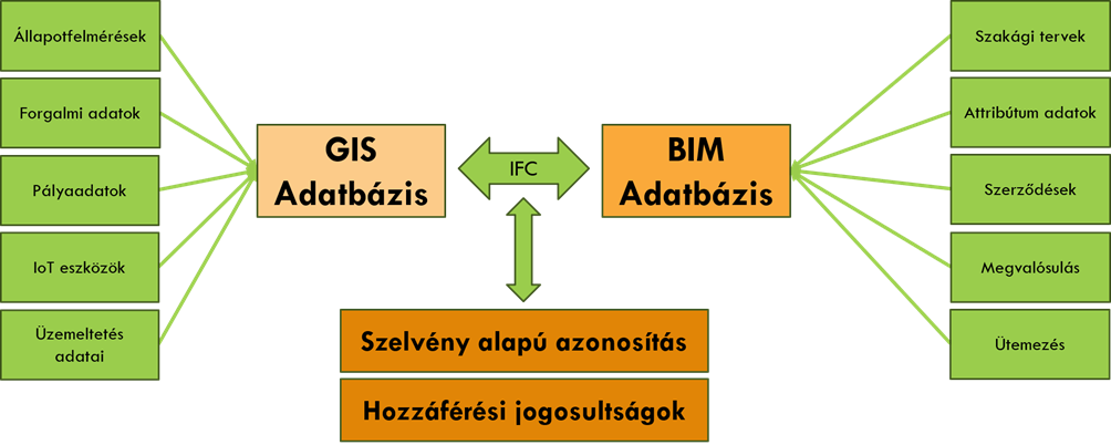
Vonalas létesítmények életciklus-menedzsmentje GIS és BIM alapokon
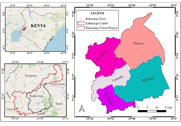
Földhasználat változásának vizsgálata Kenyában
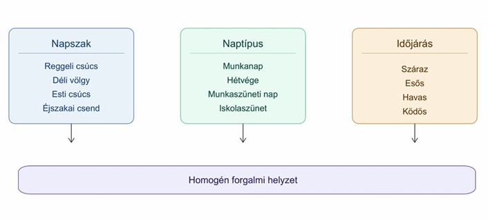
Térinformatikai módszerek a budapesti forgalomirányítási rendszerben
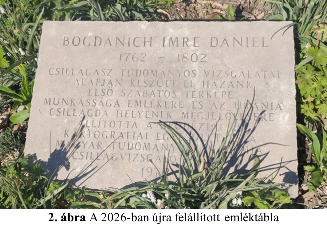
Ki volt Bogdanich Imre Dániel?
60 év a BGTV szolgálatlában
Rendezvények
Könyvismertetés
Nekrológ