A A GNSSnet.hu permanens állomáshálózat koordinátáinak újraszámítása ITRF2020 alapokon
DOI:
https://doi.org/10.30921/GK.78.2026.2.1Abstract
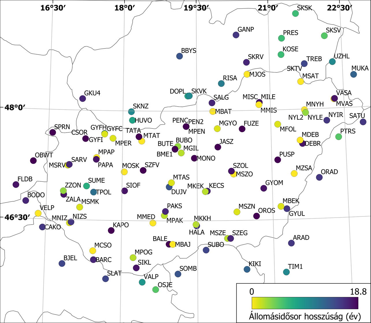
Published in 2022, ITRF2020 is the most recent realisation of the International Terrestrial Reference System (ITRS). The GNSS contribution to ITRF2020 was derived from the International GNSS Service (IGS) reprocessing (Repro3) campaign, which introduced multi-GNSS processing, updated type mean antenna calibration models and other refined environmental modelling. These improved models and strategies are implemented in the daily processing of the Hungarian GNSSnet.hu station network. To fully exploit these improvements, the complete observation dataset of the network starting from 2006 to 2022 was also reprocessed using the ITRF2020/IGS Repro3 standards. The generated daily network solutions (from 2006 initially up to 2024 and subsequently up to 2026) were combined through normal equation stacking to derive a consistent long-term realization of station coordinates and velocities. The datum definition was established using a minimum-constraints approach based on selected reference stations and a no-net-translation condition with respect to ITRF2020. The resulting coordinate and velocity solution was validated against the latest European Permanent Network (EPN) combined solution (C2370). The estimated Helmert transformation parameters between the two solutions are statistically insignificant, indicating excellent agreement in network origin, orientation, scale, and station velocity realization. Residuals are typically at the millimetre level and show no systematic spatial patterns. The time series of weighted root mean square (RMS) values derived from daily, and the combined solution exhibited the expected behaviour, with horizontal components remaining at the 1-2 mm level and the vertical component at 3-5 mm. The reprocessing results were introduced into operational service through station coordinate updates in ETRS89-ETRF2000 published in 2025 and 2026. While coordinate differences relative to the prior 2025 published values reached the centimetre level at some stations, these changes primarily reflect the adoption of the improved ITRF2020/Repro3 processing standards. From the perspective of the user, the magnitude of the coordinate updates remains within the practical accuracy requirements for real-time positioning. In the context of long-term position monitoring applications based on the network, users may pay close attention to the coordinate offsets caused by the updates.